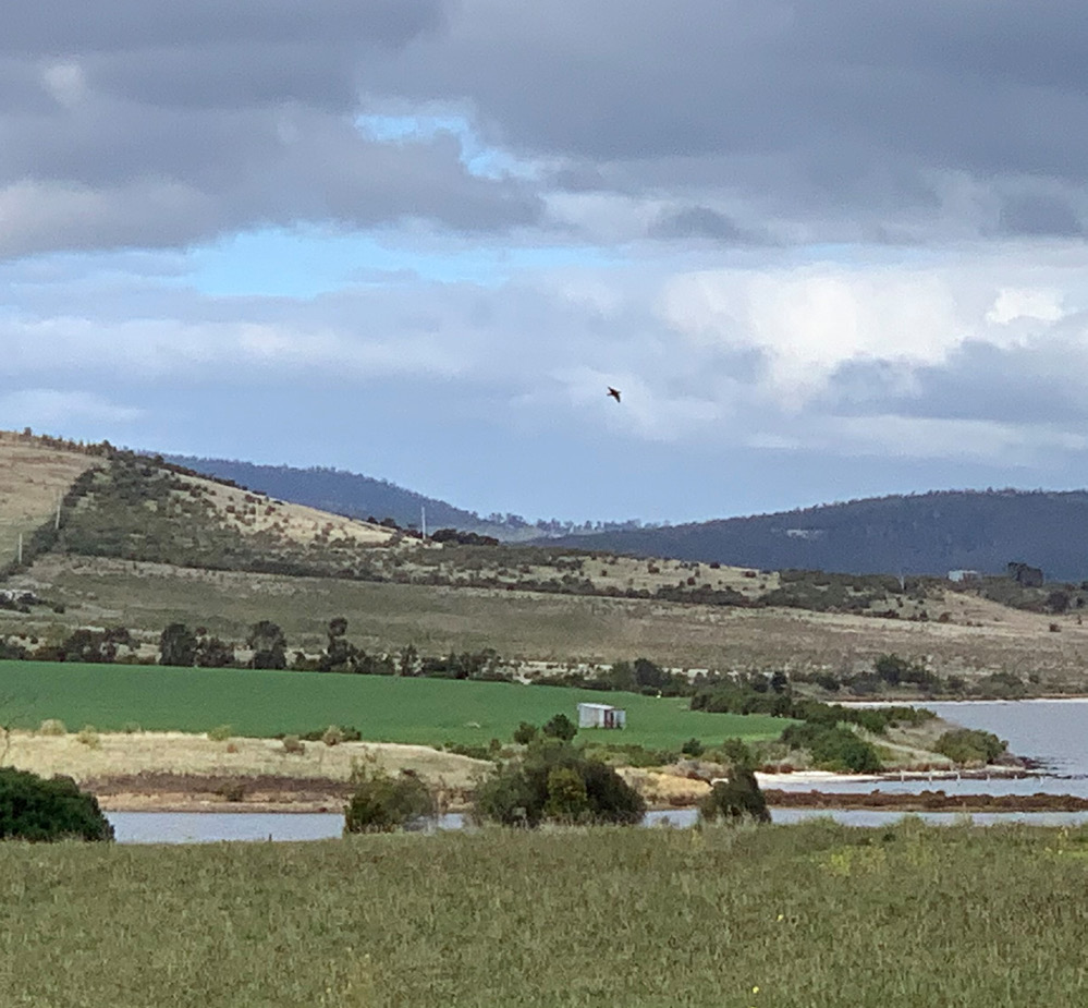
Holmes Dyer was engaged by the landowner to evaluate the potential for development of a large parcel of future urban land at Sorell for residential purposes, and for the establishment of a R-12 school, associated playing fields, a childcare centre, a church, parsonage, and office.
The process involved analysis of the existing physical landform, especially the impacts of slope, flood risk and significant vegetation, opportunities for linkages to Sorell township and the surrounding properties, internal pedestrian connectivity potential, views and accessibility, as well as a review of the Planning Scheme and its overlays.
Holmes Dyer produced a series of opportunities and constraints maps to determine an area capable of urban development. This area was then assessed in terms of the positioning of the largest single land use (the school), and a series of siting options were produced. A concept was then prepared for the school and the residential precinct, and for the positioning of all other land uses. This concept identifies road and pedestrian connectivity within and beyond the site, protects key vegetation, coastal and riverine environments, and avoids areas of land slip risk.
Key Capabilities
- Urban Design and Master Planning
